Mount Phillips (Canada)
| Mount Phillips | |
|---|---|
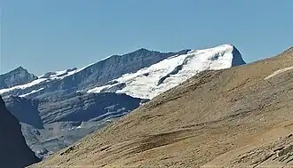 East-southeast aspect, from Snowbird Pass | |
| Highest point | |
| Elevation | 3,246 m (10,650 ft)[1] |
| Prominence | 524 m (1,719 ft)[1] |
| Parent peak | Whitehorn Mountain (3399 m)[1] |
| Listing |
|
| Coordinates | 53°10′39″N 119°15′37″W / 53.1775°N 119.2602778°W[2] |
| Geography | |
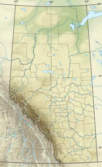 Mount Phillips Location in Alberta 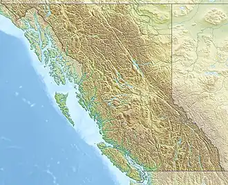 Mount Phillips Location in British Columbia 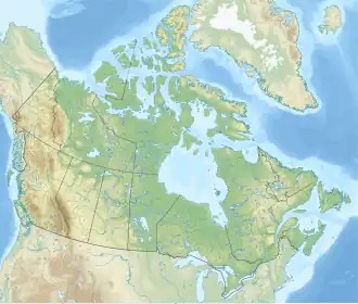 Mount Phillips Location in Canada | |
| Country | Canada |
| Provinces | Alberta and British Columbia |
| Protected areas |
|
| Parent range | Park Ranges[1] |
| Topo map | NTS 83E3 Mount Robson[2] |
| Climbing | |
| First ascent | 1910 by J. Norman Collie, A.L. Mumm, J. Yates[3] |
Mount Phillips is a mountain located on the border of Jasper National Park (Alberta) and Mount Robson Provincial Park (British Columbia). It is Alberta's 61st highest peak, and British Columbia's 84th highest peak. It was named in 1923 by J. Norman Collie after Donald "Curly" Phillips, a Jasper area outfitter and guide who made the disputed first ascent of Mount Robson in 1909.[1][3]
See also
- List of peaks on the Alberta–British Columbia border
References
- 1 2 3 4 5 "Mount Phillips". Bivouac.com. Retrieved 2010-02-05.
- 1 2 "Mount Phillips (Alberta)". Geographical Names Data Base. Natural Resources Canada. Retrieved 2021-09-15.
- 1 2 "Mount Phillips". cdnrockiesdatabases.ca. Retrieved 2010-02-05.
External links
- "Mount Phillips". BC Geographical Names.
This article is issued from Wikipedia. The text is licensed under Creative Commons - Attribution - Sharealike. Additional terms may apply for the media files.