Collier Peak
| Collier Peak | |
|---|---|
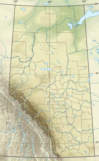 Collier Peak Location in Alberta 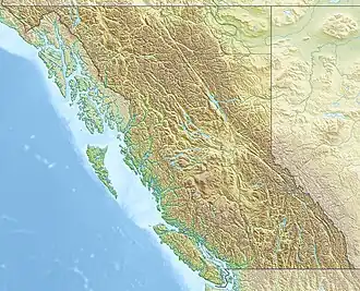 Collier Peak Location in British Columbia 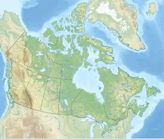 Collier Peak Location in Canada | |
| Highest point | |
| Elevation | 3,232 m (10,604 ft)[1][a] |
| Prominence | 94 m (308 ft)[1] |
| Listing |
|
| Coordinates | 51°23′27″N 116°18′12″W / 51.39083°N 116.30333°W[4] |
| Geography | |
| Country | Canada |
| Provinces | Alberta and British Columbia |
| Parent range | Bow Range[5][4][1] |
| Topo map | NTS 82N8 Lake Louise[4] |
| Climbing | |
| First ascent | 1893 H.P. Nichols, Samuel E.S. Allen[6][1] |
Collier Peak is located between Mount Victoria and Popes Peak and straddles the Continental Divide marking the Alberta-British Columbia border. It was named in 1903 after Dr. Joseph Collier.[2][1][6]
See also
- List of peaks on the Alberta–British Columbia border
References
- 1 2 3 4 5 "Collier Peak". Bivouac.com. Retrieved 2025-03-24.
- 1 2 "Collier Peak". cdnrockiesdatabases.ca. Retrieved 2019-08-11.
- ↑ Lake Louise & Yoho (Map). 1:50,000. Cochrane, AB: Gem Trek Publishing. 2001. § D4. ISBN 1-895526-15-9. Retrieved 2023-03-24.
- 1 2 3 "Collier Peak". Geographical Names Data Base. Natural Resources Canada. Retrieved 2025-03-24.
- ↑ NTS Map sheet 82N08
- 1 2 "Collier Peak". BC Geographical Names. Retrieved 2023-03-24.
- Notes
This article is issued from Wikipedia. The text is licensed under Creative Commons - Attribution - Sharealike. Additional terms may apply for the media files.