Castle Mountain (British Columbia)
| Castle Mountain | |
|---|---|
.jpg) | |
| Highest point | |
| Elevation | 2,546 m (8,353 ft)[1] |
| Prominence | 281 m (922 ft)[1] |
| Listing | Mountains of British Columbia |
| Coordinates | 51°02′22″N 116°26′55″W / 51.03944°N 116.44861°W[2] |
| Geography | |
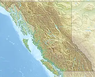 Castle Mountain Location in British Columbia | |
| Interactive map of Castle Mountain | |
| Country | Canada |
| Province | British Columbia |
| District | Kootenay Land District |
| Parent range | Beaverfoot Range |
| Topo map | NTS 82N1 Mount Goodsir[2] |
Castle Mountain is a mountain in the Beaverfoot Range of the Kootenay Ranges in British Columbia, Canada. It is between the communities of Harrogate and Parson on the east side of the Columbia River and has an elevation of 2,546 metres (8,353 ft).
See also
- Coal Creek, British Columbia
References
- 1 2 "Castle Mountain". Bivouac.com. Retrieved 2013-07-28.
- 1 2 "Castle Mountain". BC Geographical Names. Retrieved 2013-07-28.
This article is issued from Wikipedia. The text is licensed under Creative Commons - Attribution - Sharealike. Additional terms may apply for the media files.