Little Signal Hills
| Little Signal Hills | |
|---|---|
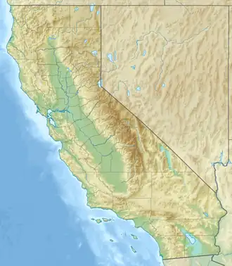 Little Signal Hills Location of Little Signal Hills in California[1] 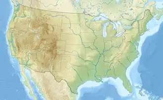 Little Signal Hills Little Signal Hills (the United States) | |
| Highest point | |
| Elevation | 413 m (1,355 ft) |
| Geography | |
| Country | United States |
| State | California |
| District | Kern County |
| Range coordinates | 35°5′34.886″N 119°26′32.428″W / 35.09302389°N 119.44234111°W |
| Topo map | USGS Maricopa |
The Little Signal Hills are a low mountain range in the Transverse Ranges, in southeastern Kern County, California.[1]
References
- 1 2 "Little Signal Hills". Geographic Names Information System. United States Geological Survey, United States Department of the Interior. Retrieved 2009-05-04.
This article is issued from Wikipedia. The text is licensed under Creative Commons - Attribution - Sharealike. Additional terms may apply for the media files.