Little Bear Mountain
| Little Bear Mountain | |
|---|---|
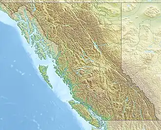 Little Bear Mountain Location in British Columbia | |
| Interactive map of Little Bear Mountain | |
| Highest point | |
| Elevation | 1,181 m (3,875 ft) |
| Coordinates | 56°48′N 131°18′W / 56.800°N 131.300°W |
| Geography | |
| Location | Stikine Country, British Columbia, Canada |
| District | Cassiar Land District |
| Parent range | Boundary Ranges |
| Topo map | NTS 104B14 Hoodoo Mountain |
| Geology | |
| Rock age | Pleistocene |
| Mountain type | Tuya |
| Last eruption | Pleistocene |
Little Bear Mountain is a basaltic Pleistocene age tuya in the Boundary Ranges of the Coast Mountains that adjoins Hoodoo Mountain to the north. Little Bear Mountain is part of the Northern Cordilleran Volcanic Province.
See also
- List of volcanoes in Canada
- List of Northern Cordilleran volcanoes
- Volcanism of Canada
- Volcanism of Western Canada
References
External links
This article is issued from Wikipedia. The text is licensed under Creative Commons - Attribution - Sharealike. Additional terms may apply for the media files.