I have a large raster created from values that cover the whole United States and Alaska which are both polygon and polyline features, this raster was caluclated using Spatial Analyst IDW Interpolation. How can I get the raster to clip with the either the polyline of the United States border or the polygon shape of the United States?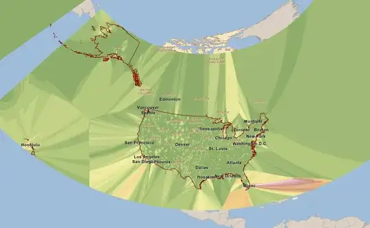
I followed the advice of @DerekSwingley and set the cell size environment setting to match the original raster. It gives it a smooth border but instead of having smooth grades of differentiating colors now i have large blocks of differentiating colors.
Good

Bad
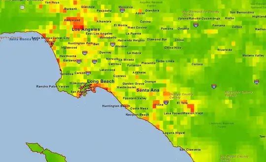
Any ideas on how I can fix this and get the Bad raster to look like the orignial (good) raster but keep the bad rasters border?