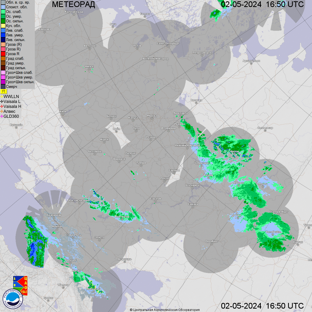
I'd like to read in some data displayed in a map, but it's presented in a projection that it's totally unknown for me, so I have no idea how to get the CRS and transformations to georeference the images I can get. I'm referring to the following map of Russia in this gif image
I can live with an approximate solution, but currently and because of the weird angle of the image, I have absolutely no idea of what projection they use.
I don't know which tool to use to tackle this problem. I'm familiar with proj (with Python) and QGIS.
Using the comment by @Erik I have tried this projection which is pretty close (see image below).
Any idea how to tweak the parameters to improve the fit?
It’s perhaps worth to note that the meridians are not completely straight. This should discard some projections. However, I’m not sure which ones.
