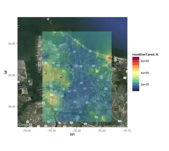
I've created a response surface of sorts based on interpolated z values (bottom of post).
I'm looking for the most efficient way to assign the respective z value to a new point (actually, a dataset of new points), based on the corresponding lat long (which is what the original grid is based on).
Anyone have a recommendation for a command and/or package I may look up?
The grid is not a shapefile so the spatial joining packages I've seen have not been any use.