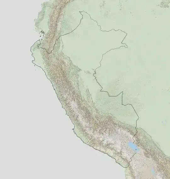
I am trying to make topographic maps for some countries and show only those countries. I already created reliefs from SRTM-data and imported lake and river data from Natural Earth. Now I want to delete all raster and shape information that is out of the country (in my example down there, Peru). The country is another shapefile from Natural Earth.
Long story short: How do I delete all the stuff out of Peru?