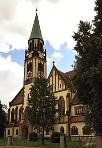
Röthenbach an der Pegnitz
Röthenbach an der Pegnitz este un oraș din Franconia Mijlocie, landul Bavaria, Germania.
| Röthenbach an der Pegnitz | |||
| — comună urbană[*] — | |||
 | |||
| |||
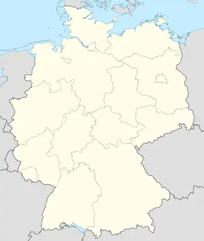 Röthenbach an der Pegnitz Röthenbach an der Pegnitz (Germania) | |||
| Coordonate: 🌍 | |||
|---|---|---|---|
| Țară | |||
| Land | |||
| Regierungsbezirk | |||
| District rural din Bavaria[*] | |||
| Componență | 7 cartiere | ||
| Guvernare | |||
| - Primar | Günther Steinbauer | ||
| Suprafață[1] | |||
| - Total | 14,27 km² | ||
| Altitudine | 329 m.d.m. | ||
| Populație (2006-06-30) | |||
| - Total | 12.120 locuitori | ||
| - Densitate | 849 loc./km² | ||
| Fus orar | CET (+1) | ||
| - Ora de vară (DST) | CEST (+2) | ||
| Cod poștal | 90552 | ||
| Prefix telefonic | 0911 | ||
| Cod zonal | 0911 | ||
| Localități înfrățite | |||
| - Werdau | Germania | ||
| - Bad Gleichenberg[*] | Austria | ||
| - Les Clayes-sous-Bois[*] | Franța | ||
| Număr de înmatriculare (auto) | LAU | ||
| Prezență online | |||
| www.roethenbach.de OpenStreetMap relation | |||
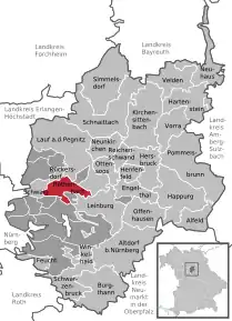 Poziția localității Röthenbach an der Pegnitz | |||

Röthenbach an der Pegnitz
(Primăria)
(Primăria)
Vezi și
| Control de autoritate |
|---|
- Alle politisch selbständigen Gemeinden mit ausgewählten Merkmalen am 31.12.2018 (4. Quartal) (în germană), Statistisches Bundesamt[*], accesat în
This article is issued from Wikipedia. The text is licensed under Creative Commons - Attribution - Sharealike. Additional terms may apply for the media files.